Log in
All resources
Create a design
1,096,308 Free Images of Maps Of Journeys
david rumsey historical map collection
maps in the library of congress
fonds ancely - bibliothèque municipale de toulouse - maps
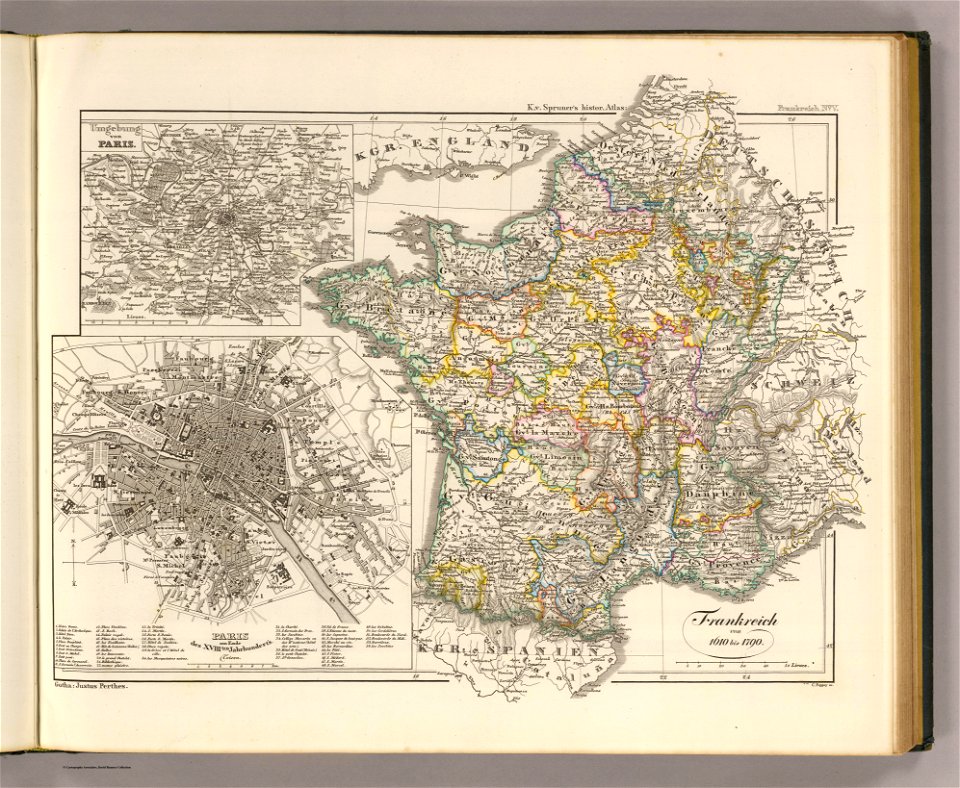
victor levasseur - maps of france
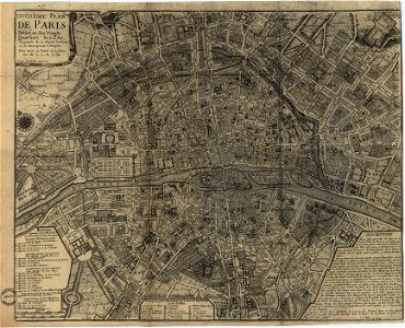
maps of paris from the david rumsey historical map collection
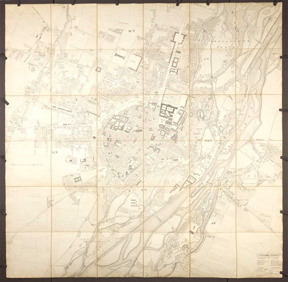
maps by royal bavarian land tax commission
old maps of freising
1865 maps
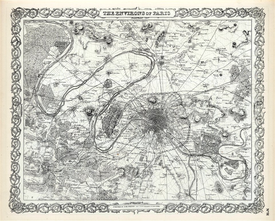
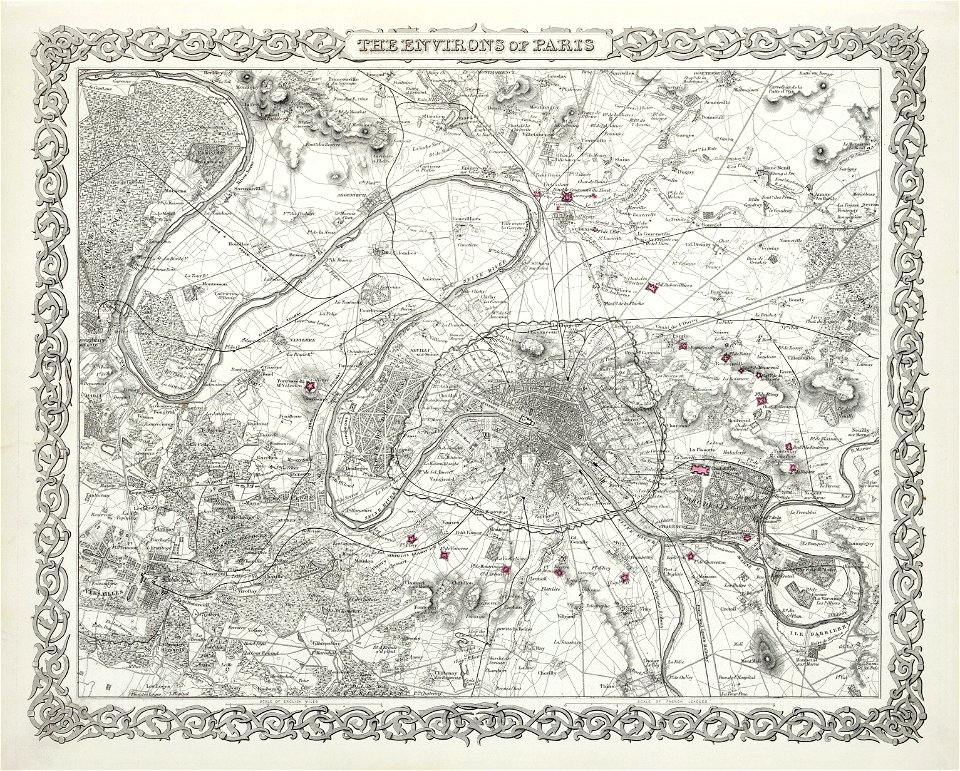
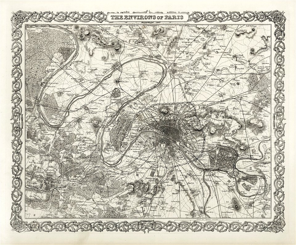
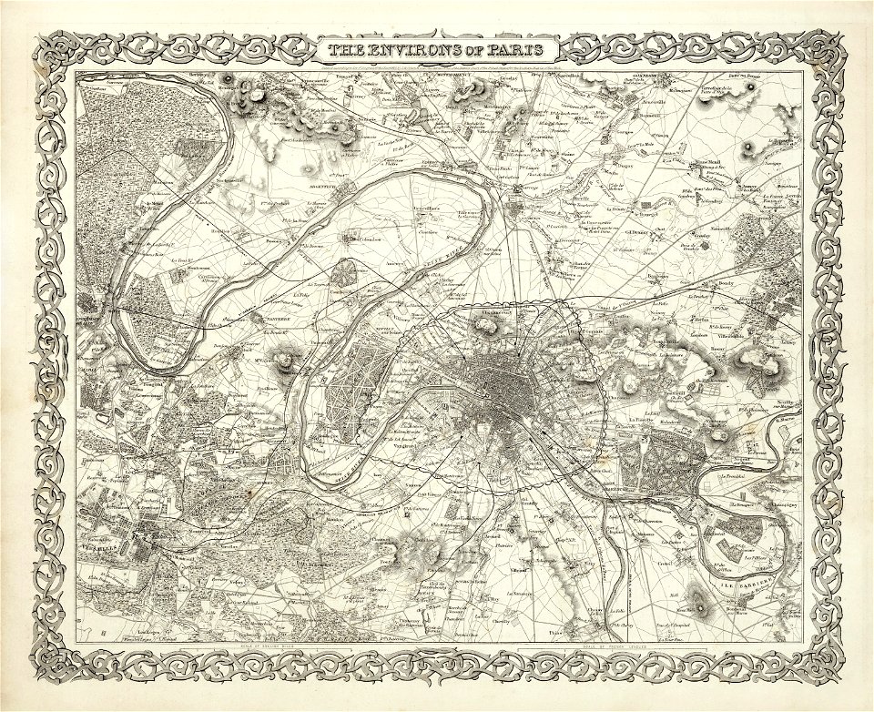
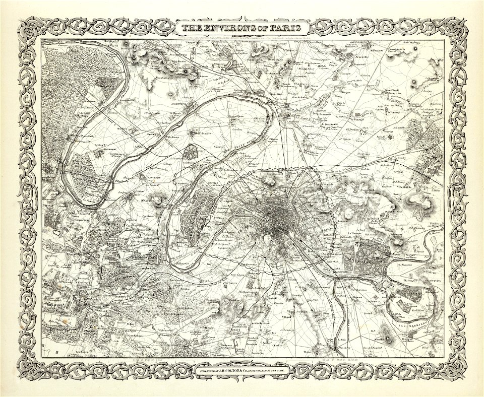
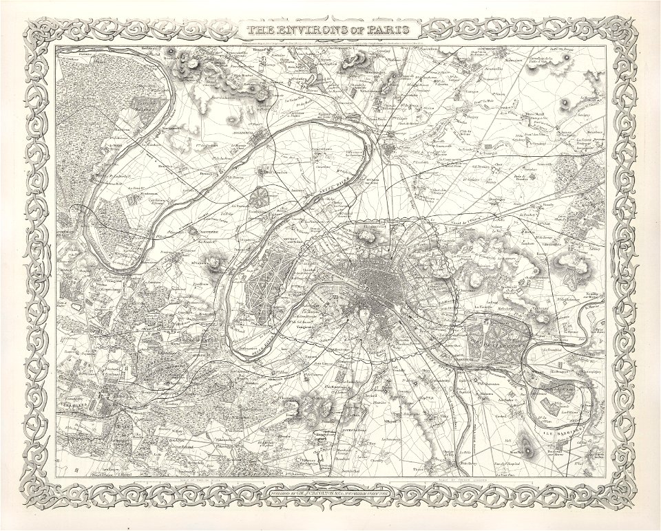
the environs of paris by joseph hutchins colton
german-language maps
maps by gustav adolf von varendorf
maps of hamburg-billstedt
maps by jacob van deventer
old maps of harderwijk
james cook (maps relating to)
robert sayer
encyclopaedia universalis mundaneum
french-language maps of europe
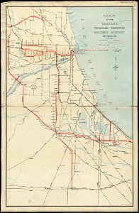
rail transport in chicago
1898 maps
maps showing 18th-century history
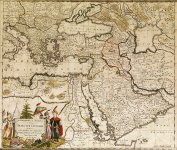
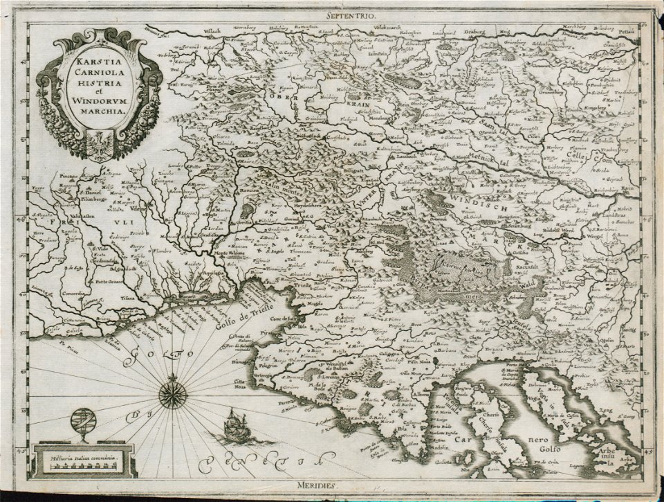
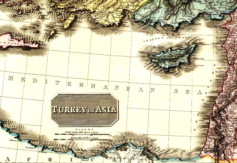
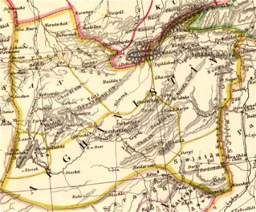
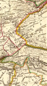
old maps of the ottoman empire
old maps of venice
johannes ratelband
old city maps of munich
munich in the 1830s
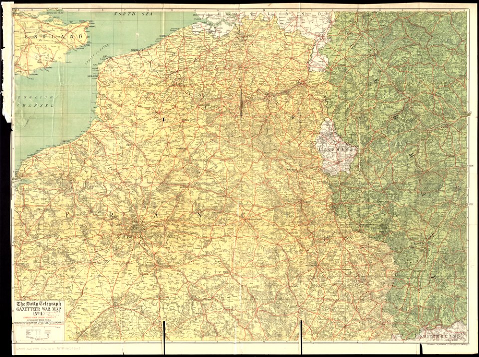
maps of world war i by the daily telegraph
1915 maps
new york
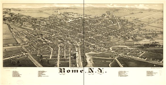
rome
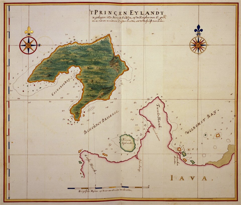
17th-century maps of indonesia
johannes vingboons
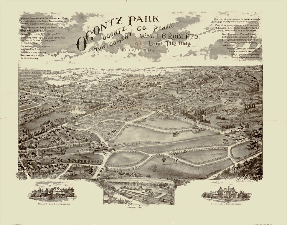
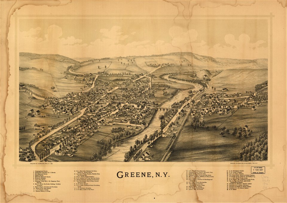
o. h. bailey
1880 maps
o. h. bailey
1880 maps
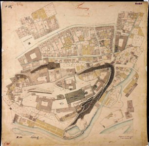
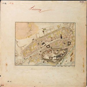
maps by royal bavarian land tax commission
old maps of freising
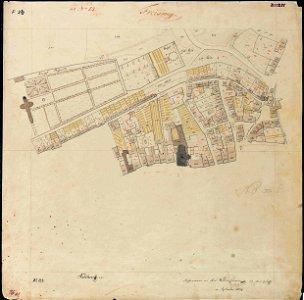
maps by royal bavarian land tax commission
old maps of freising
maps by royal bavarian land tax commission
old maps of freising
maps by royal bavarian land tax commission
old maps of freising
david rumsey historical map collection
old maps of france
engravings by matthäus merian
1649 maps
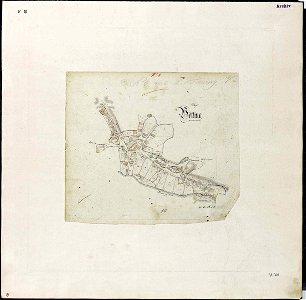
maps by royal bavarian land tax commission
old maps of freising
maps by royal bavarian land tax commission
old maps of freising
maps in the library of congress
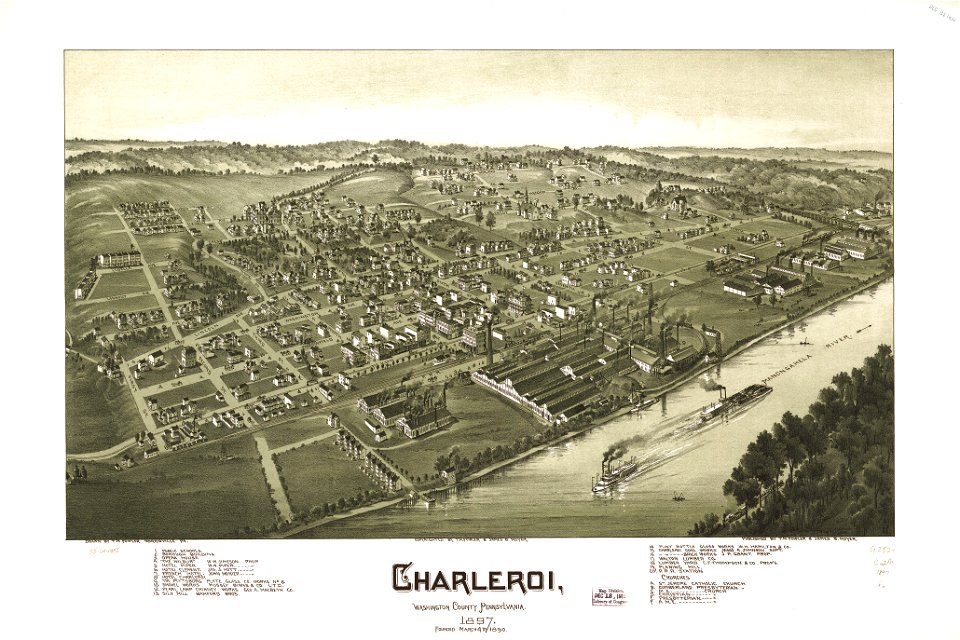
charleroi historic district
maps in the library of congress
charleroi historic district
maps by willem and johannes blaeu
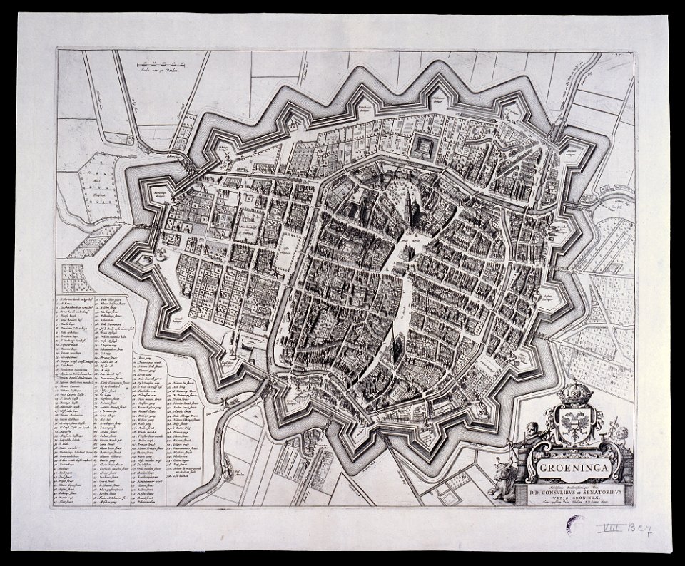
old maps of groningen (city)
maps and topographical views by joris hoefnagel
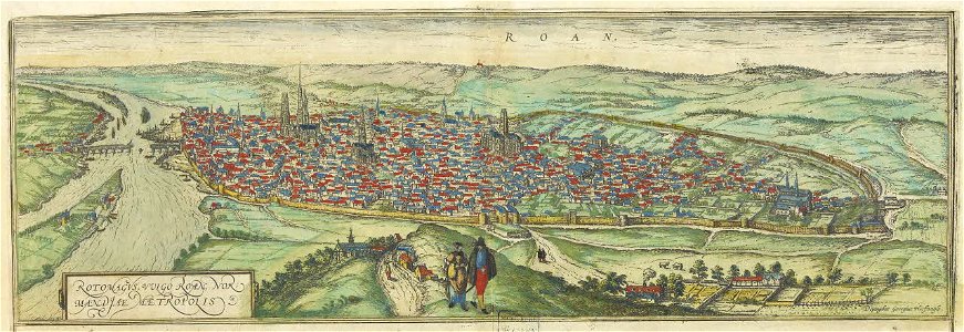
old maps of rouen
lepsius-projekt - maps
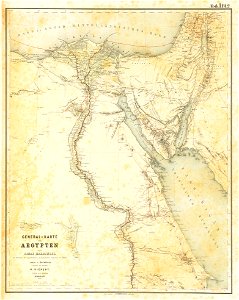
egypt in the 1850s
itinerarium hierosolymitanum et syriacum..., 1619
ships on maps
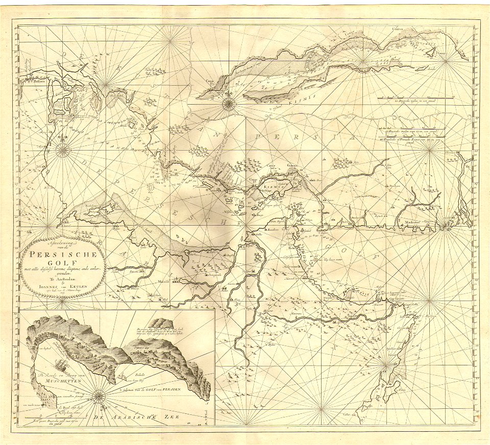
johannes van keulen
1753 maps
dutch-language maps
atlas van loon
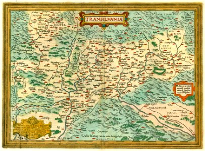
1612 maps of transylvania
maps by abraham ortelius
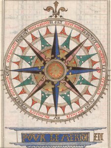
compass roses on maps
almanacs of france
coats of arms of galicia (spain)
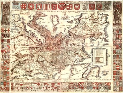
holy roman empire
l'illustration
1862
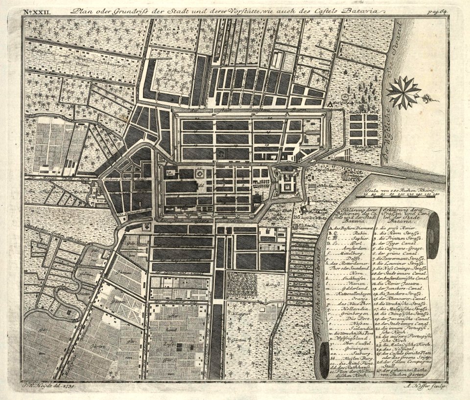
kota tua
batavia
old maps of hesdin
old maps of france
hatched coats of arms
atlantic ocean
1760s etchings
1760 maps
maps by nicolas sanson
northern michigan
images from the new york public library
old maps of the tsardom of russia
fonds ancely - bibliothèque municipale de toulouse - maps
robert batty (artist)
files from the bodleian libraries
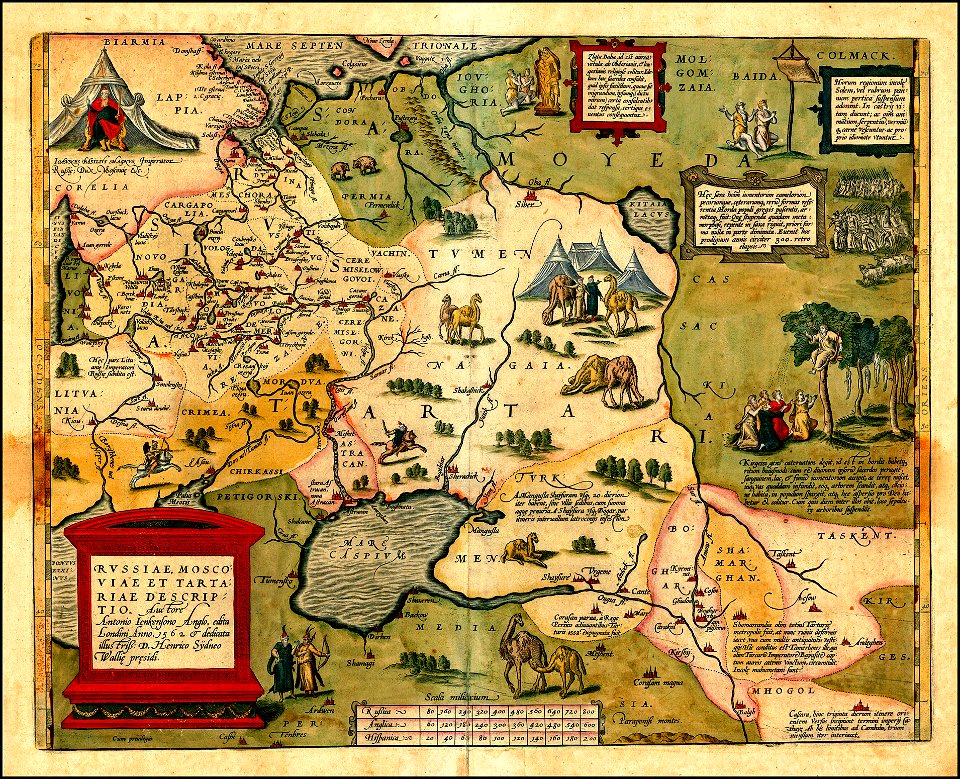
maps of tartary
maps of kamianets-podilskyi
nicolas de fer
old maps of the middle east
jr
old maps of mecklenburg
gerard valck
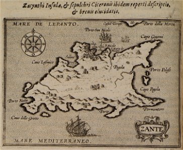
historical images of the ionian islands
avlemonas
new york
green
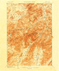
united states geological survey maps
united states geological survey
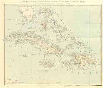
maps from the mechanical curator collection
the land of the pink pearl
1860 lithographs
neoclassicism
1865 in paris
1865 maps
1886 in paris
1886 maps
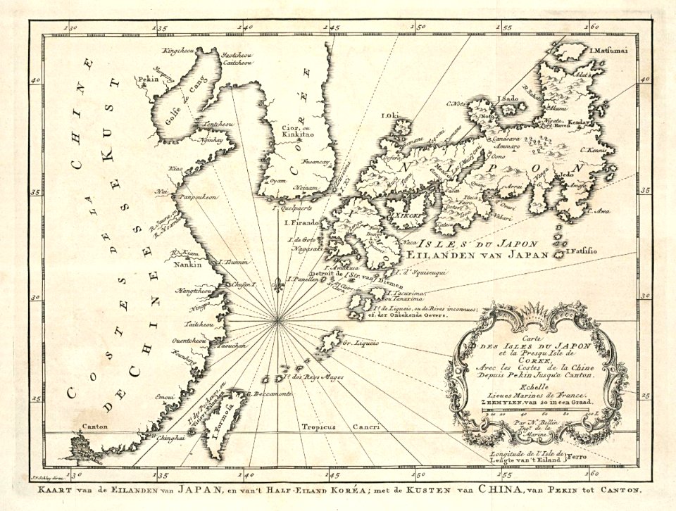
maps of the dutch east india company - japan
1747)
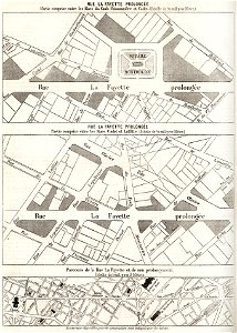
maps of paris from the david rumsey historical map collection
1869 in paris
maps of paris from the david rumsey historical map collection
1866 in paris
maps of paris from the david rumsey historical map collection
1856 maps
1874 in paris
1874 maps
copper engravings in the universitätsbibliothek salzburg
maps by abraham ortelius
david rumsey historical map collection
old maps of france
maps in the stadsarchief amsterdam
pieter bast
david rumsey historical map collection
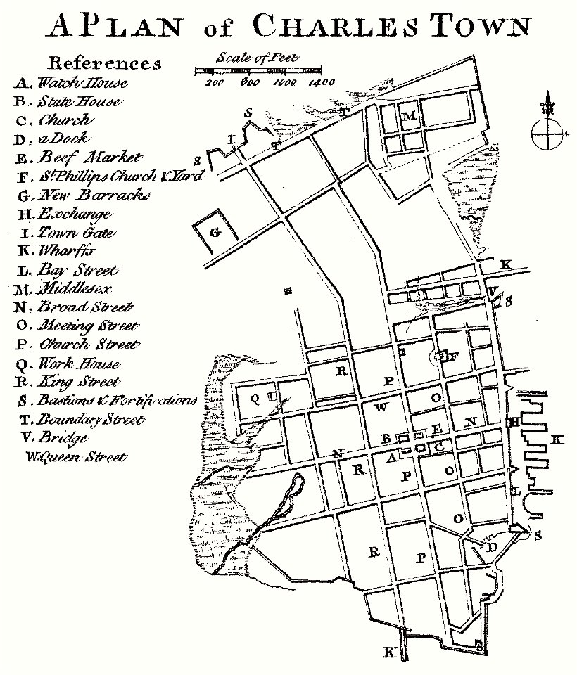
south carolina
david rumsey historical map collection
joan blaeu
johannes ratelband
jan goeree
maps by coronelli
1700 maps
donnus nicolaus germanus
latin-language maps
david rumsey historical map collection
1813 maps
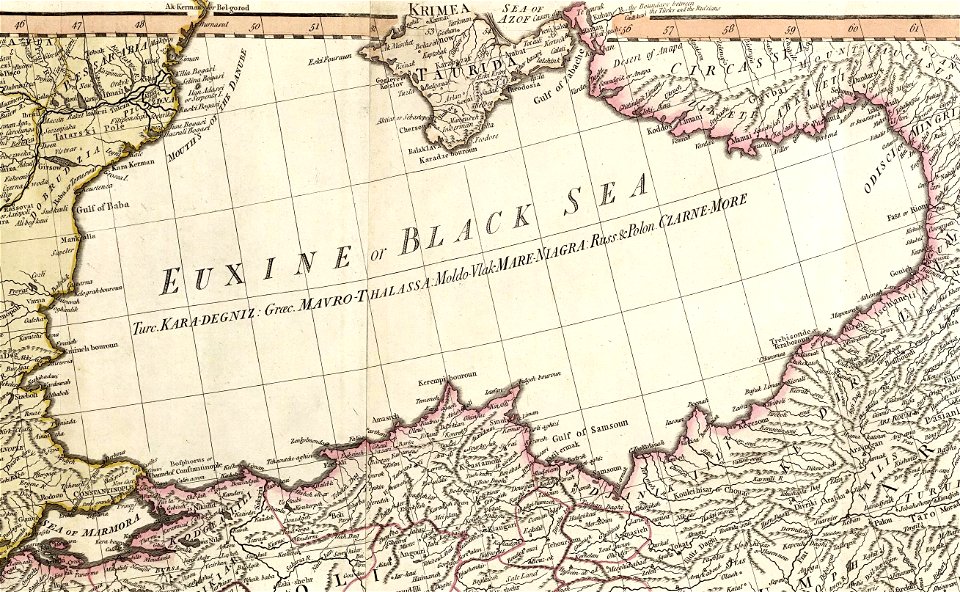
19th-century maps of the mediterranean sea
david rumsey historical map collection
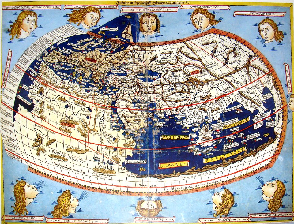
cosmographia claudii ptolomaei alexandrini
latin-language maps
david rumsey historical map collection
german-language maps
david rumsey historical map collection
german-language maps
david rumsey historical map collection
german-language maps
david rumsey historical map collection
german-language maps
girolamo porro
1572 maps
david rumsey historical map collection
joan blaeu
david rumsey historical map collection
maps by william faden
old maps of mexico
covens en mortier
theodor de bry
amazon
1865 in paris
1865 maps
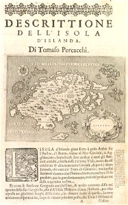
old maps of earth's hemispheres
pictorial maps
maps in the library of congress
sailing ships of spain
maximilien de béthune
duc de sully
richard friese - mammal illustrations
syncerus caffer (illustrations)
fonds ancely - bibliothèque municipale de toulouse - maps
saint vincent de paul
fonds ancely - bibliothèque municipale de toulouse - maps
coats of arms of cities in pyrénées-atlantiques
fonds ancely - bibliothèque municipale de toulouse - maps
joachim murat
fonds ancely - bibliothèque municipale de toulouse - maps
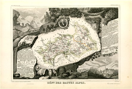
coats of arms of cities in hautes-alpes
fonds ancely - bibliothèque municipale de toulouse - maps
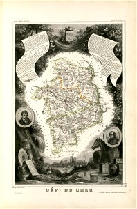
coats of arms of cities in cher
fonds ancely - bibliothèque municipale de toulouse - maps
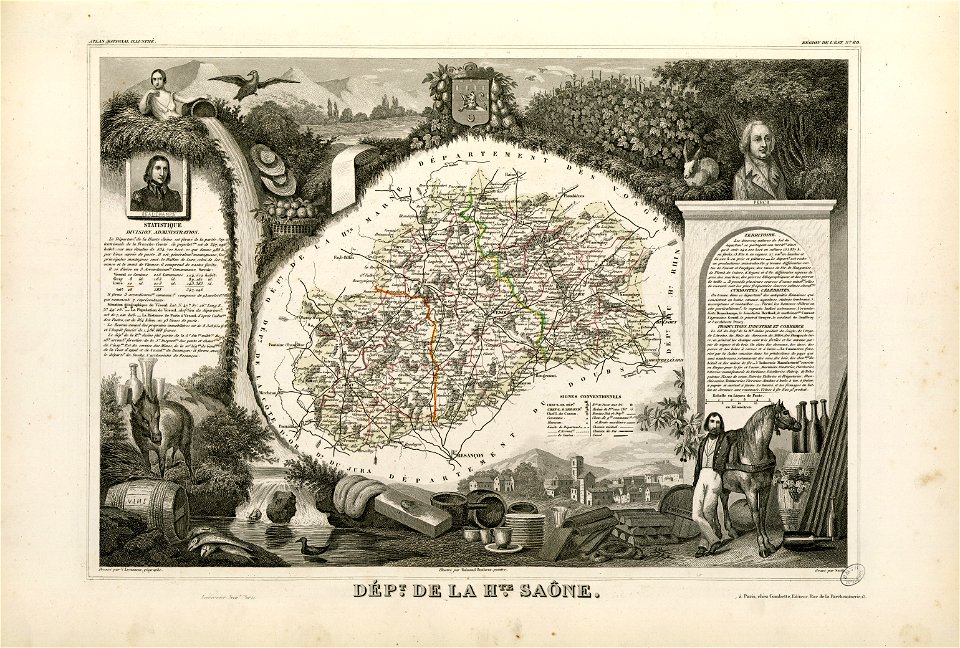
coats of arms of vesoul
fonds ancely - bibliothèque municipale de toulouse - maps
victor levasseur - maps of france
18th-century maps of indonesia
1757
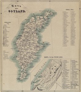
maps of gotland
pehr arvid säve
maps of paris from the library of congress
maps in the library of congress
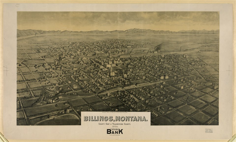
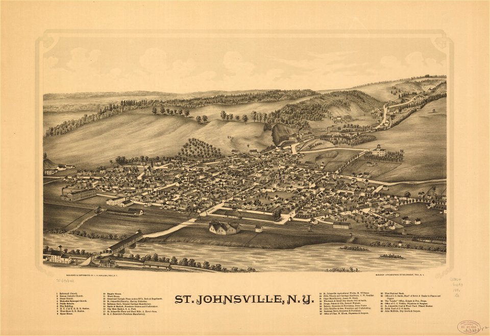
lithographs of montana
montana
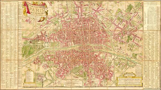
maps of paris from the barry lawrence ruderman antique maps inc.
18th-century maps of paris
maps by willem and johannes blaeu
joan blaeu
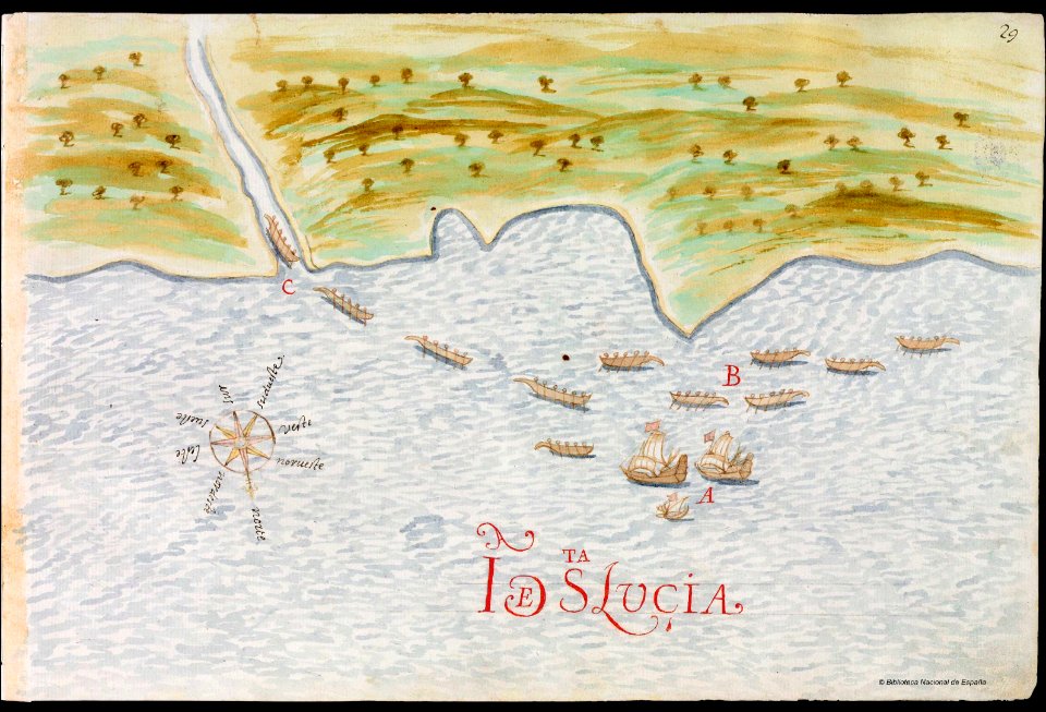
old maps of saint lucia
pictorial maps
18th-century maps of north america
1794 maps
maps by willem and johannes blaeu
lillo
maps in the library of congress
new york
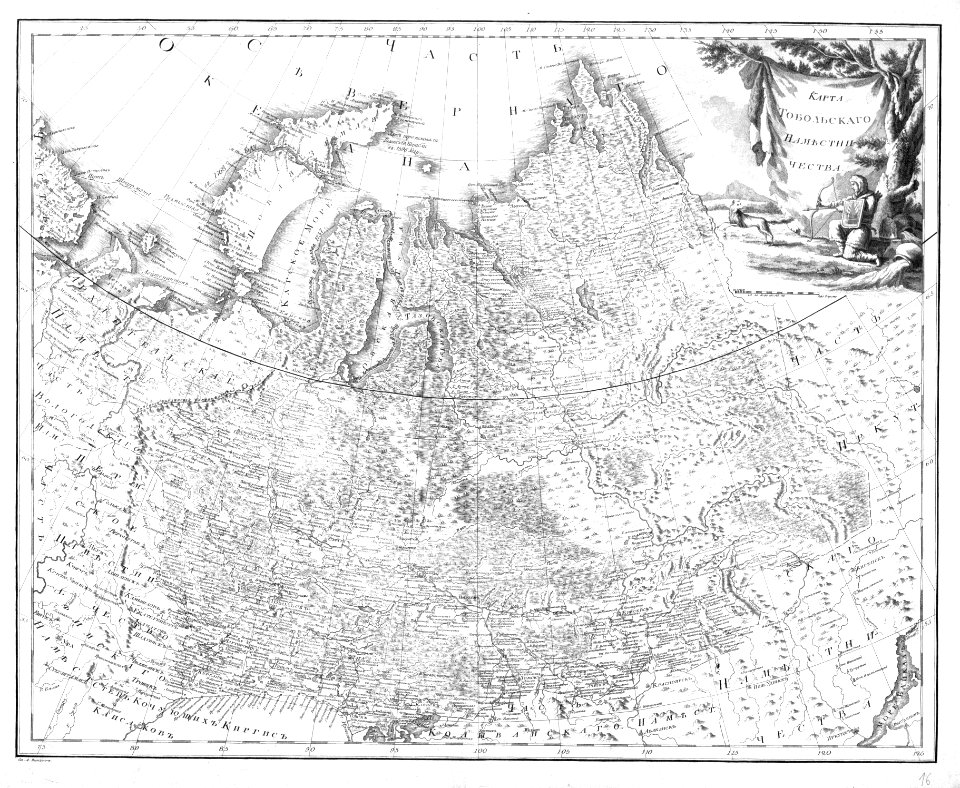
atlas of the russian empire (1792)
old maps of tobolsk governorate
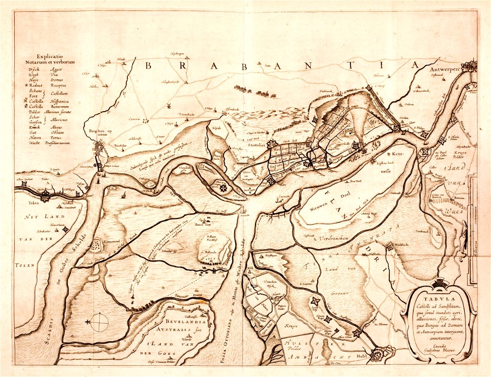
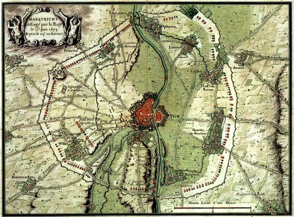
17th-century maps of maastricht
maps of the franco-dutch war
3201 - 3300 of 1,096,308
Next page
/ 10964